Learn about Natural Resource Management Using GIS at WLIA!
The Ashland area is known for its natural beauty, and Wednesday’s programming will take us across different landscapes in Northern Wisconsin as we learn about the region's GIS use in natural resources.
A great variety of organizations are represented in Wednesday's lineup:
Ashland County Land & Water Conservation Department
Seth Hackbarth, Civil Engineering Technician
Learn how land conservation departments use GIS for storytelling, project development, permitting, and outreach during "County Conservation Projects Using GIS"
National Park Service
Peggy Burkman, Retired Biologist
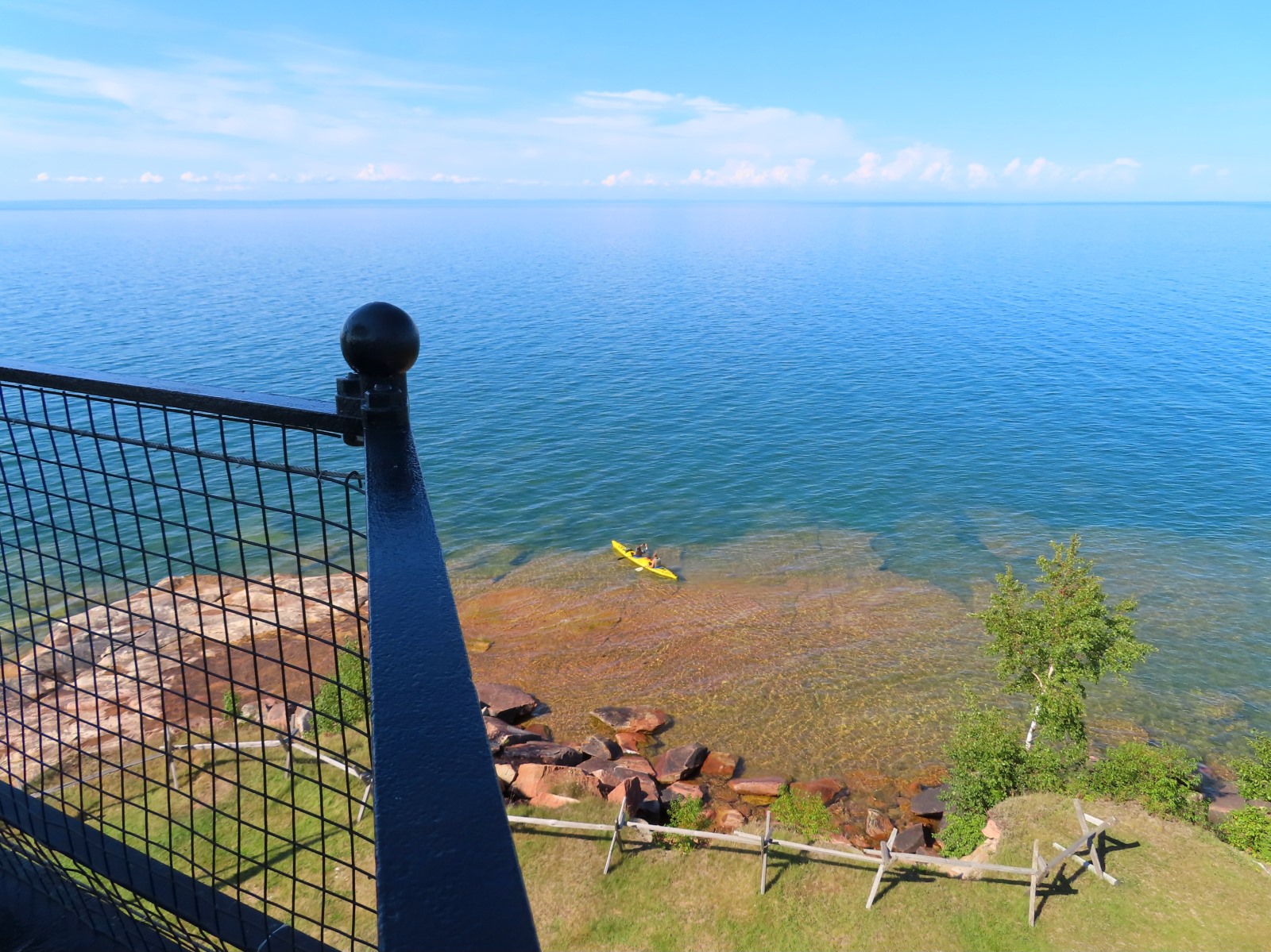
Learn how GIS mapping has been used in the unique landscapes of the Apostle Islands National Lakeshore during "Natural Resources of Apostle Islands National Lakeshore"
Lake Superior National Estuarine Research Reserve
Kirsten Rhude, Stewardship Coordinator
Learn about the development of the St. Louis River Estuary Habitat Map, including remote sensing and deep learning techniques during "St. Louis River Estuary Habitat Map: An Interdisciplinary Approach"
Wisconsin Wetlands Association
Stephanie Rockwood, Geospatial Analyst
Learn how they are using GIS to assess flood and erosion vulnerabilities across the Lake Superior basin during "Watershed-Based and Community-Driven: an assessment of flood and erosion vulnerability in the Lake Superior Basin"
Wisconsin Geological and Natural History Survey
G. Graham, Hydrogeologist
Learn about the hydrogeologic atlases produced for Bayfield and Burnett Counties using a wide range of data to create useful maps during "Building Hydrogeologic Atlases: Mapping Groundwater Resources and Vulnerability"